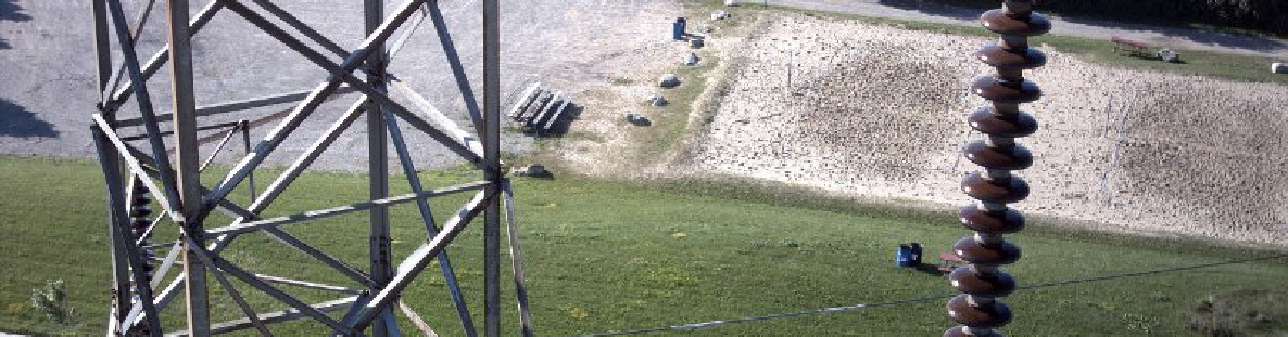
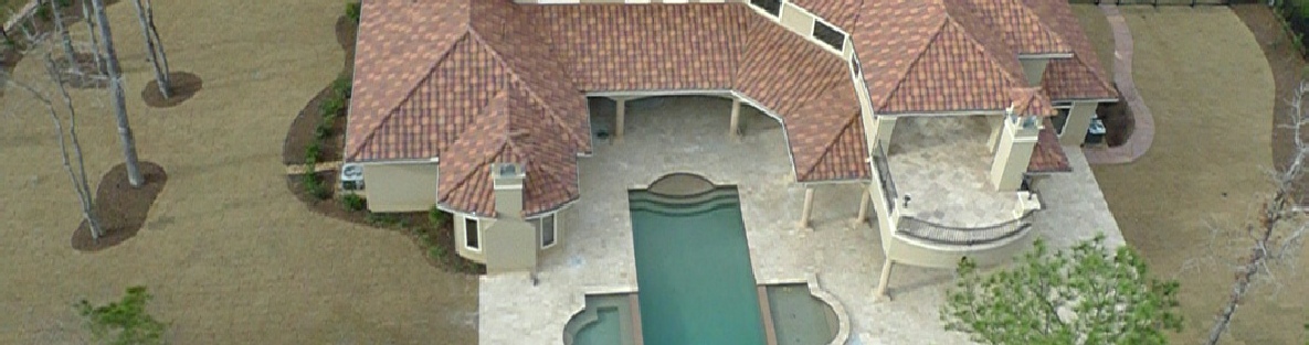
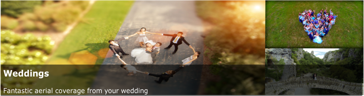
Our UAV Aerial Photography, Survey and Monitoring services are available for a wide range of applications, in areas such as mining, environmental monitoring, construction, security, surveying, and much more.
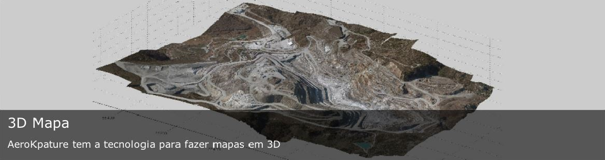
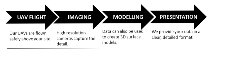
Aero Kapture use professional photogrammetry software to process aerial imagery and create 2D maps, 3D models and large photographic prints.
Our UAV’s can operate in wind, 100% cloud cover, light rain and take off and land on the roughest and most hazardous terrain.
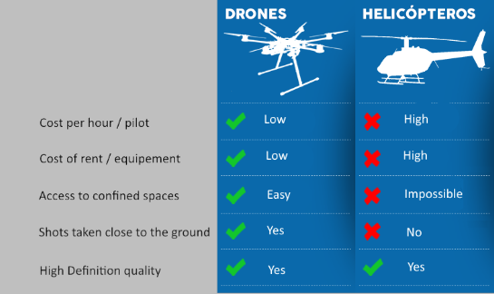
Using our UAV to conduct aerial work is cheaper and more environmentally friendly than chartering an aeroplane or helicopter and less labour intensive than conducting a ground survey.
The data gathered by Aero Kapture can be processed almost immediately to give rapid results to customers, when required.
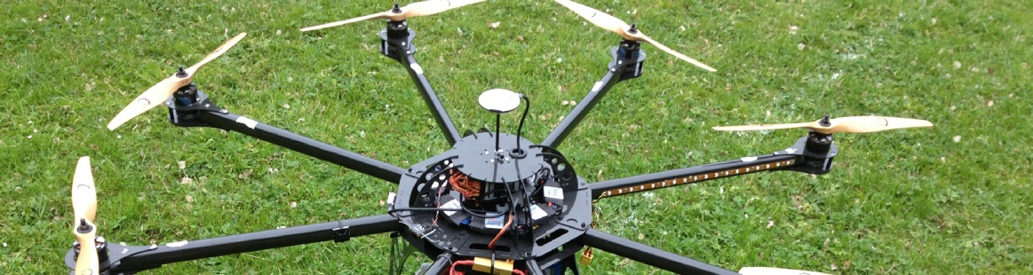
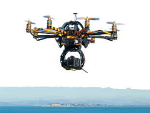
Aero Kapture is specialized in developing and implementing concepts in low altitude, high definition aerial imaging services, including aerial photography and aerial videos. All our equipments are state of the art Unmanned Aerial Vehicle Systems, with professional cameras and highly skilled crew.


 Aero Kapture use professional photogrammetry software to process aerial imagery and create 2D maps, 3D models and large photographic prints.